The Kunlun Shan is a major mountain system of Asia, situated in China about halfway between the Himalayas and Tian Shan. It stretches one thousand miles, its snow-and-glacier-clad peaks rising abruptly along the north 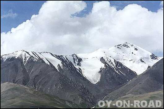 edge of the vast dry Tibetan plains. The Kunlun Shan becomes progressively more narrow from east to west, and the narrow western section, just east of the Pamirs, is where the highest peaks are found, towering seventy five miles south of Kashi, the largest city in western Xinjiang Province, China. edge of the vast dry Tibetan plains. The Kunlun Shan becomes progressively more narrow from east to west, and the narrow western section, just east of the Pamirs, is where the highest peaks are found, towering seventy five miles south of Kashi, the largest city in western Xinjiang Province, China.
Near the center of the Kunlun Shan, a 500-mile northern branch called the Altun Tagh splits from the main range and extends northeast.
The Kunlun Mountains, 6,178 meters above sea level, features modern glacier landforms on both its northern and southern slopes. While its southern slope stretches with a gentle gradient, the northern is steep. The glacier end on the southern slope is about 5,100 meters above sea level, not a great challenge for most skilled mountaineers. The road conditions on the northern slope are relatively challenging, and all three glaciers on the slope lead to the summit, requiring good mountaineering skills. All these traits make Peak Yuzhu an optimal destination for both professional and amateur mountaineers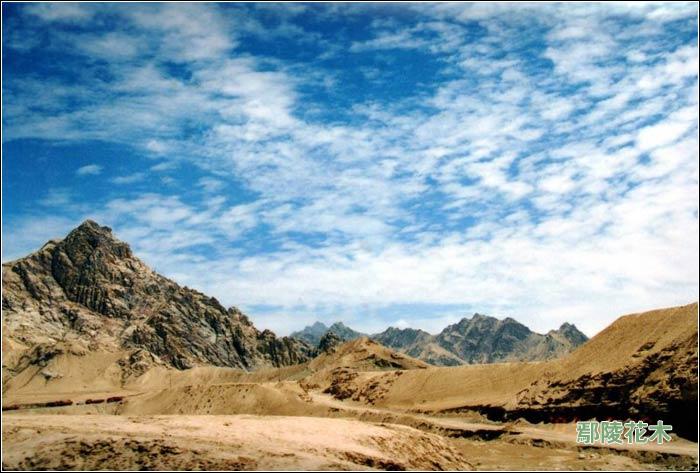
The Kunlun Mountains is one of the longest mountain chains in Asia, extending more than 3,000 km.
The Kunlun runs westwards along the northern part of the Tibetan plateau to form the border range of northern Tibet. It stretches along the southern edge of what is now called the Tarim Basin, the infamous Takla Makan or "sand-buried houses" desert, and the Gobi desert. A number of important rivers flow from it including the Karakash River ('Black Jade River') and the Yurungkash River ('White Jade River'), which flow through the Khotan Oasis into the Taklamakan Desert.
The highest mountain of the Kunlun Shan is the Kunlun Goddess (7,167 m) in the Keriya area. The Arka Tagh is in the center of the Kunlun Shan; its highest point is Ulugh Muztagh. Some authorities claim that the Kunlun extends north westwards as far as Kongur Tagh (7,649 m) and the famous Muztagh Ata (7,546 m). But these mountains are physically much more closely linked to the 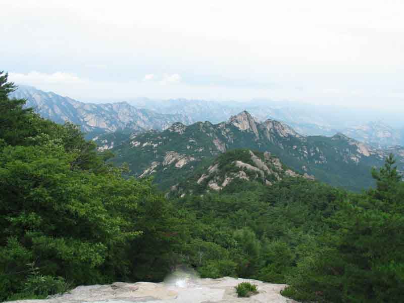 Pamir group (ancient Mount Imeon). Pamir group (ancient Mount Imeon).
Bayan Har Mountains, a southern branch of the Kunlun Mountains, forms the watershed between the catchment basins of China's two longest rivers, the Yangtze River and the Huang He.
The mountain range formed at the northern edges of the Cimmerian Plate during its collision, in the Late Triassic, with Siberia, which resulted in the closing of the Paleo-Tethys Ocean.
The range has very few roads and in its 3000km length is crossed by only two. In the west, Highway 219 traverses the range en route from Yecheng, Xinjiang to Lhatse, Tibet. Further east, Highway 109 crosses between Lhasa and Golmud.
Related books
|